
Burnett Woods
Natural Areas: Burnett Woods
State Designated Nature Preserve [#163; 1998]
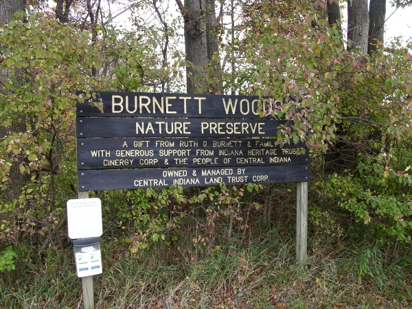
Sign. Click to enlarge
Burnett Woods comprises sixty-nine acres in a rapidly developing area west of Indianapolis. The original blue-blazed lollipop trail starts at the southwest corner of the woods, and for years comprised the entirety of the trail system. But now a short connecting trail that spans a small creek links the original trail to a second, red-blazed lollipop. The Red Trail heads north from the first, venturing close to the western end of a large and very busy railroad yard. The deep rumble of locomotives seems omnipresent here, and noises from nearby roads and the occasional aircraft passing overhead add to the sonic tableau. There’s also a side trail that extends from the southwest corner of the Red Trail which ends at the edge of a large mowed field adjacent to the church.
Spring wildflowers are plentiful; Solomon’s plume is very thick near the entrance, and mayapple, purple trillium, bloodroot, trout lily, and wild ginger are common throughout. Small footbridges span wetter areas, including a seasonal stream. Pawpaw seems especially common, and larger trees include maple, oak, hickory, and beech. We are fortunate that this property was saved from development. If you can overlook the almost constant noise, Burnett Woods will repay your attention, and it will only get better with time.Trail Map
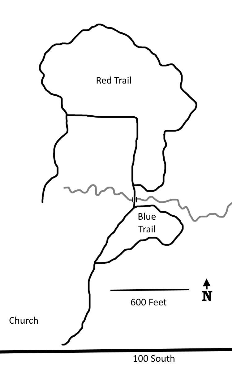
Click to enlarge
Directions
Hendricks County. From the intersection of US 36 and IN 267, south 1.0 miles on IN 267, then left 1.2 miles on 100 South to a church parking lot on the left. Please try to avoid visiting during church services. Woods are just east.
GPS: N 39 44.919 W 86 22.532
Facilities
None
Finder Sketch

Click to enlarge
Nearby Natural Areas (miles)
Sodalis Nature Park (8.9)
Eagle Creek Park (14.5)
Meyer Nature Preserve (16.3)