Selma Steele
Nature Preserve
State Designated Nature Preserve [#121; 1989]

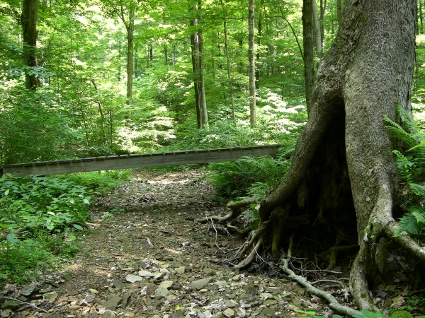
Footbridge. Click to enlarge
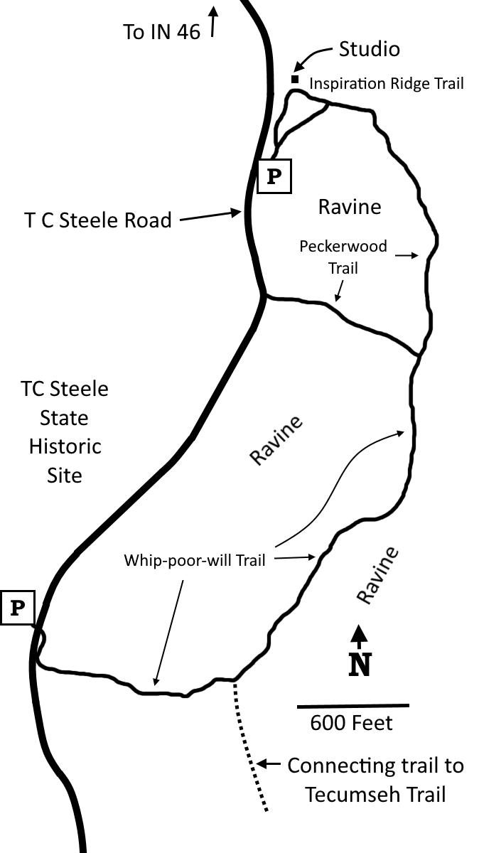
The Selma Steele Nature Preserve features wooded ridges and ravines traversed by a trail system that somewhat resembles a backwards capital E. Inspiration Ridge Trail is a short-stemmed lollipop that leads north to a remote painting studio once used by T.C. Steele. Most of the surrounding forest was gone when Steele worked here, and the views were more expansive. The loop connects to Peckerwood Trail, which descends to the floor of a ravine, then turns west to climb back up to T.C. Steele Road near the entrance to the adjacent State Historic Site. As Peckerwood Trail turns west, it intersects with the northern end of Whip-poor-will Trail, which continues south, eventually emerging near the exit of the Historic Site.
Trail Map

Click to enlarge
Directions
Brown County. From Belmont on IN 46, go south 1.2 miles on TC Steele Road to a small unmarked parking area on the left.
GPS: N 39 08.128 W 86 20.722
Facilities
None, though there are bathrooms at the adjacent State Historic Site.
Finder Sketch

Click to enlarge
Nearby Natural Areas (miles)
Yellowwood State Forest (4.7)
Brown County State Park (11.7)
Scarlet Oak Woods (13)
Hitz-Rhodehamel Woods (14.3)
Hare Preserve at Downey Hill (16.3)
Branigin Nature Preserve (17.1)
Leonard Springs Nature Park (18.4)
