Sugar Watershed
Watersheds: Sugar
Sugar Watershed
Click to enlarge
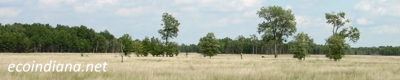
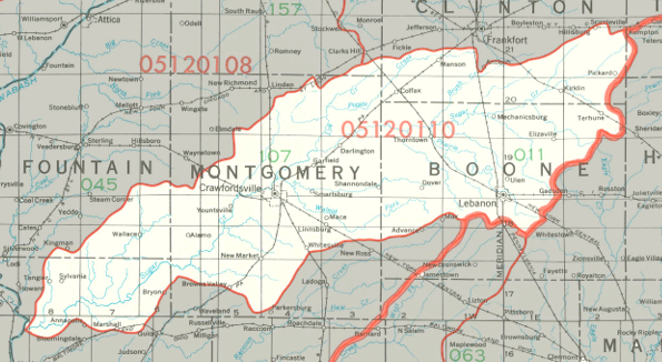
The Sugar Watershed drains about 518,000 acres, all in west-central Indiana. The watershed is centered around Sugar Creek, which flows in a generally west-southwesterly direction toward its confluence with the Wabash River. Along the way it passes through Shades State Park and Turkey Run State Park. The Sugar Watershed drains most of Boone County and Montgomery County, along with smaller portions of five other counties.
County |
Acreage |
Source: USDA
Notable tributaries of Sugar Creek include Rush Creek, Roaring Creek, Sugar Mill Creek, Indian Creek, Rattlesnake Creek, Lye Creek, Wolf Creek, and Browns Wonder Creek. After joining the Wabash, waters from Sugar Creek make their way to the Ohio River and thence into the Mississippi River and on to the Gulf of Mexico.
The United States Geological Survey has assigned the Sugar Watershed an 8-Digit Hydrologic Unit Code of 05120110.
Thank you for visiting ecoindiana.net. I hope you find it useful.
Mike Habeck