Gibson County
|
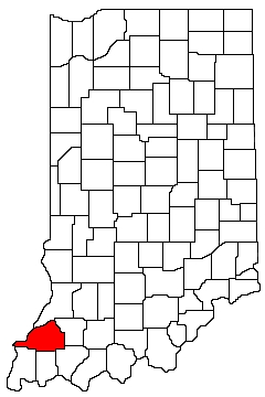
Gibson County is in southwest Indiana. It is bounded on the north by Knox County, on the west by Knox County and Illinois, on the south by Posey County, Vanderburgh County, and Warrick County, and on the east by Pike County. |
|
Natural Areas
Columbia Mine Preserve
See also: SLT
Hemmer Woods
See also: DNR [PDF]
Saunders Woods
See also: DNR ·
NC
Organizations
Indiana Native Plant Society - Southwest Chapter
Watersheds
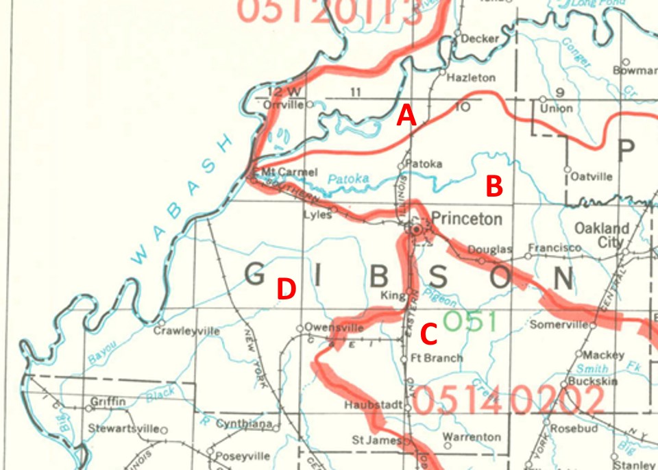
Gibson County Watersheds
Click to enlarge
Red lines on the map depict the boundaries of 8-digit hydrologic units (one convenient definition of a watershed) as shown on this 1974 United States Geological Survey Map.
Gibson County drains into four different 8-digit hydrologic units, each represented on the image above by an area between red lines and within the county boundary, designated by a letter. Clicking on a watershed name below will take you to separate page with more information on that watershed.
Letter |
Watershed |
A |
Thank you for visiting ecoindiana.net. I hope you find it useful.
Mike Habeck