Harmonie State Park

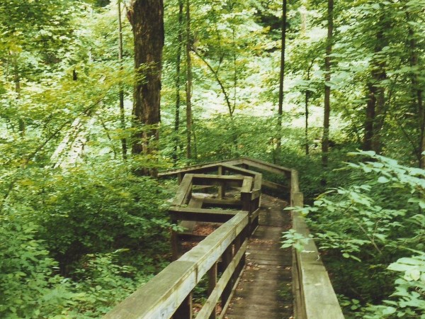
Trail 1. Click to enlarge
Harmonie State Park sits on the eastern bank of the Wabash River in extreme southwestern Indiana. It is a middle-aged park, dating from 1966, and there are signs throughout of displaced civilization. You won’t have to look hard to find old roads or smell operational oil wells. It’s not my favorite park, but it does have its own redeeming characteristics.
Like other natural areas in the corners and along the edges of the state, Harmonie is home to many plants and animals that are rare or non-existent elsewhere in Indiana. For example, cypress trees are common here. This southern species favors very wet or even submerged soils; their buttressed trunks flare into the dark water, often surrounded by emergent “knees".
There are a half dozen trails, but many follow old roads, and few are more than about a mile long. None are very challenging. At two-and-a-half miles, Trail 4 is the longest, and gets my vote as the best. Though there’s some road walking, it also follows a nice little creek for a while, incorporates a bit of climbing, and passes large trees. Another point in Harmonie’s favor: perhaps because of its rather remote location, it doesn’t seem to get a lot of use. I’ve noted sparse crowds even on a gorgeous June weekend, with numerous sites available at the campground.
Although this website focuses on Indiana’s natural areas, I can’t resist suggesting a visit to the nearby town of New Harmony. Lutheran communalists arrived in 1814 but packed up and sold their holdings to Robert Owen’s utopian community in 1825. Both groups are long gone, but much of the town they built remains, and it is rich with history.
Directions
Posey County. From the intersection of IN 69 and IN 269, just south of New Harmony, go west 0.9 miles on IN 269 to the entrance. (Fee)
GPS: N 38 05.390 W 87 56.515
Facilities
Campground; nature center; cabins; water
Finder Sketch

Click to enlarge
Nearby Natural Areas (miles)
No profiled areas within 20 miles
