Adams County
|
Adams County is in northeast Indiana. It is bounded on the north by Allen County, on the west by Wells County, on the south by Jay County, and on the east by Ohio. |

|
Natural Areas
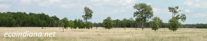
Baltzell-Lenhart Nature Preserve
See also: DNR [PDF]
Organizations
ACRES Land Trust
Dedicated to protecting land, mostly in northeast Indiana
Indiana Native Plant Society - Northeast Chapter
Government
Adams County Health Department
Inspections, investigations, permits, testing, consultation, training
Adams County Soil and Water Conservation District
Helping landowners understand and implement conservation practices that will improve the quality and health of our soil and water resources
Adams County Solid Waste Management District
Includes info on recycling and hazardous waste disposal
Watersheds

Adams County Watersheds
Click to enlarge
Red lines on the map depict the boundaries of 8-digit hydrologic units (one convenient definition of a watershed) as shown on this 1974 United States Geological Survey Map.
Adams County drains into three different 8-digit hydrologic units, each represented on the image above by an area between red lines and within the county boundary, designated by a letter. Clicking on a watershed name below will take you to separate page with more information on that watershed.
Letter |
Watershed |
A |
Thank you for visiting ecoindiana.net. I hope you find it useful.
Mike Habeck