Menu
Short description of when and why I started EcoIndiana.
Notions, speculations, findings, and anything potentially relevant that pops into my head.
How to get in touch with me, should you wish to do so.
Indiana has 92 counties and EcoIndiana provides a separate page for each of them. The county pages include a small map that shows where the county is within the state. It also includes links to information about natural areas within the county, links to the websites of environmental organizations active in the county, and a map that illustrates the 8-digit watersheds within the county.
About twenty pages on the Level IV ecoregions of Indiana as defined by US EPA.
A directory of Indiana organizations that have an environmental focus, along with a brief description of which each does, or at least my understanding of what they do.
A small selection of upcoming environmentally-related events, with a focus on those of more than local interest.
EcoIndiana contains hundreds of pages devoted to the state's natural areas. There is an alphabetical list, lists within each of the county profiles, and some smaller lists of natural areas that share certain characteristics.
Recent environmentally-related developments of potential interest.
EcoIndiana's privacy policy. Basically, I don't ask that anyone send me anything, nor do I try to collect any data on specific users of this site with the exception of statistics collected by the web hosting company on the monthly number of visits to each page, so I have some idea of what is (or isn't) important to the users of this site. EcoIndiana resides on a server at knownhost and I don't know what other information knownhost may collect when you visit an EcoIndiana page.
An annotated list of books and other resources, mostly related to native plants and animals, that may be of interest.
Basically, use the site at your own risk. I make an effort to provide accurate and useful information, but the world does change and I can't visit the places described on this site as often as I wish I could to update things. Also, I make mistakes.
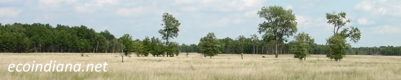
We've got a lot of them in Indiana.
The U.S. Geological Survey defines 38 8-digit hydrologic units or watersheds that each occupy some portion of Indiana, and EcoIndiana contains descriptions of 37 of them (the exception being Lake Michigan). The watershed profiles include maps showing the extent of each watershed, the acreage(s) that the watershed occupies in each of its counties, a list of some of the principal tributaries within the watershed, and a description of where the water in that watershed ends up.
Thank you for visiting ecoindiana.net. I hope you found it useful.
Mike Habeck