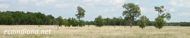
Indiana Watersheds
"A watershed is an area of land that drains all the streams and rainfall to a common outlet such as the outflow of a reservoir, mouth of a bay, or any point along a stream channel."
- United States Geological Survey
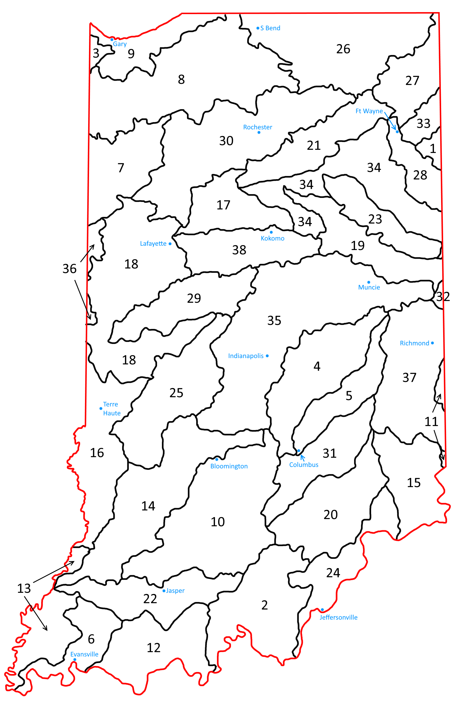
USGS defines watersheds in a variety of sizes, from large ones like the Ohio River watershed, down to watersheds that cover much smaller areas. The watersheds in the list that follows are called 8-digit hydrologic units; the scans in the individual watershed accounts in the links below come from this 1974 USGS Map of 8-Digit Hydrologic Units of Indiana. The 38 listed below include all of those that occupy some part of Indiana, with the exception of the hydrologic unit that comprises Lake Michigan.
1. Auglaize
2. Blue-Sinking
3. Chicago
4. Driftwood
5. Flatrock-Haw
6. Highland-Pigeon
7. Iroquois
8. Kankakee
9. Little Calumet-Galien
10. Lower East Fork White
11. Lower Great Miami
12. Lower Ohio-Little Pigeon
13. Lower Wabash
14. Lower White
15. Middle Ohio-Laughery
16. Middle Wabash-Busseron
17. Middle Wabash-Deer
18. Middle Wabash-Little Vermillion
19. Mississinewa
20. Muscatatuck
21. Northern Eel
22. Patoka
23. Salamonie
24. Silver-Little Kentucky
25. Southern Eel
26. St Joseph (Michigan)
27. St Joseph-Maumee
28. St Marys
29. Sugar
30. Tippecanoe
31. Upper East Fork White
32. Upper Great Miami
33. Upper Maumee
34. Upper Wabash
35. Upper White
36. Vermillion
37. Whitewater
38. Wildcat
Thank you for visiting ecoindiana.net. I hope you find it useful.
Mike Habeck