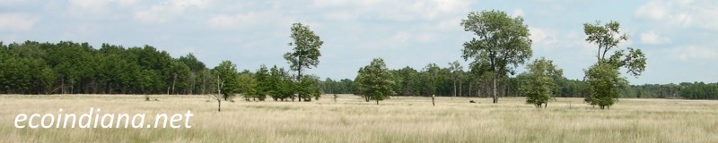
Indiana EcoRegions
"Ecoregions are areas where ecosystems (and the type, quality, and quantity of environmental resources) are generally similar."
- US EPA

US EPA defines ecoregions at four different levels, from fifteen large Level I ecoregions like Eastern Temperate Forest (which encompasses most of the eastern United States, including all of Indiana) down to the much smaller Level IV ecoregions depicted above. These are general designations, and many different habitat types can and do occur within each Level IV ecoregion. Of course, most of Indiana is no longer occupied by its original ecosystems, those having been replaced by farmland, urbanization, roadways, and other anthropogenic features. Alas, some of the names given them aren't exactly poetic. But here's the list. Links should take you to a page specific to that Level IV ecoregion.
Chicago Lake Plain
Clayey, High Lime Till Plains
Crawford Uplands
Elkhart Till Plains
Glaciated Wabash Lowlands
Illinois/Indiana Prairies
Kankakee Marsh
Kankakee Sand Area
Lake Country
Loamy, High Lime Till Plains
Maumee Lake Plains
Michigan Lake Plain
Middle Tippecanoe Plains
Mitchell Plain
Norman Upland
Northern Bluegrass
Pre-Wisconsinan Drift Plains
Southern Wabash Lowlands
Wabash Bottomlands
Whitewater Interlobate Area
Please note that there are other Indiana ecoregion classification schemes, most notably that of Homoya, et al. (1985). I chose to use the US EPA maps and information in this section of EcoIndiana because the US EPA maps and information are in the public domain, not because I am even remotely qualified to choose between them on the basis of their scientific merits. And really, why choose? Benefit from both. The link above does not contain a map of the Homoya et al. ecoregions, but a version is online here, courtesy of the Indiana Native Plant Society.
Thank you for visiting ecoindiana.net. I hope you find it useful.
Mike Habeck