Mitchell Plain Ecoregion
Ecoregions: Mitchell Plain
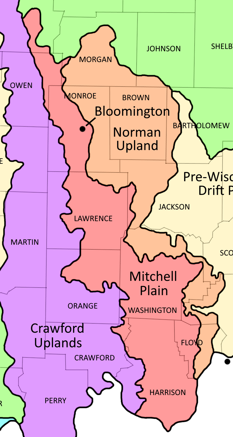
Mitchell Plain Ecoregion shown in red
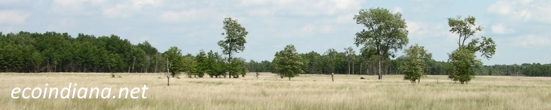
The Mitchell Plain is differentiated from adjacent ecoregions by its karst topography, low relief, and limestone quarries; its peripheral hills are wooded. The north experienced pre-Wisconsinan glaciation (that is, more 110,000 years ago) and is flatter and more poorly drained than the unglaciated part which is dominated by sink holes, underground drainage, and terra rossa soils (reddish, high-iron, clay-rich soils found over limestone bedrock). Western mesophytic forests (diverse, oak-dominated forests) once prevailed, along with karst wetland communities and limestone glades - major examples of these communities in Indiana. Source: US EPA
Natural Areas in this ecoregion include:
Cedar Bluffs Nature Preserve (Monroe County)Spring Mill State Park (Lawrence County)
Teeple Glade Nature Preserve (Harrison County)
Thank you for visiting ecoindiana.net. I hope you find it useful.
Mike Habeck