Middle Tippecanoe Plains Ecoregion
Ecoregions: Middle Tippecanoe Plains
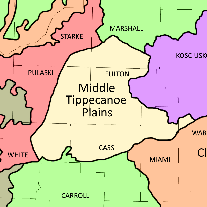
Middle Tippecanoe Plains Ecoregion shown in tan
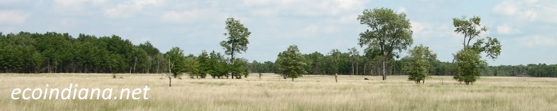
The Middle Tippecanoe Plains ecoregion is level to rolling and covered by ground moraine (mixed clay, sand, rocks deposited directly beneath a melting glacier), dunes, end moraines (rock and sediment deposited at the further extent of a glacier), and lacustrine deposits (lake sediments). The Tippecanoe River drains this area and has cooler water and remarkable species diversity; its cold water tributaries are fed by abundant ground water and have distinctive fish fauna and freshwater mussel populations. Source: US EPA
Natural Areas in this ecoregion include:
Berns-Meyer Nature Preserve (Pulaski County)
Kern Woodlands Nature Preserve (Fulton County)
Tippecanoe River State Park (Pulaski County)
Thank you for visiting ecoindiana.net. I hope you find it useful.
Mike Habeck