Loamy, High Lime Till Plains Ecoregion
Ecoregions: Loamy, High Lime Till Plains
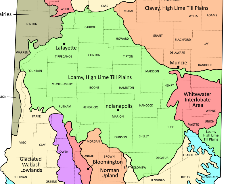
Loamy, High Lime Till Plains Ecoregion shown in Green
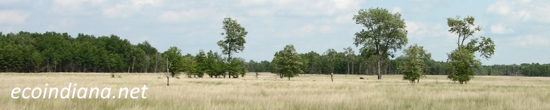
The Loamy, High Lime Till Plains ecoregion was once home to beech forests, oak-sugar maple forests, and elm-ash swamp forests on nearly level terrain. Today the area is mostly agricultural or urbanized. Source: US EPA
Natural Areas in this ecoregion include:
Anderson Falls (Bartholomew County)Bryan Woods (Clinton County)
Burnett Woods (Hendricks County)
Clegg Gardens (Tippecanoe County)
Cool Creek Park (Hamilton County)
Eagle Creek Park (Marion County)
Echo Hollow Nature Park (Hendricks County)
Fall Creek Woods (Henry County)
Flowing Well Park (Hamilton County)
Fort Harrison State Park (Marion County)
Fortune Woods (Putnam County)
Frogs Glory (Carroll County)
Granville Sand Barrens (Tippecanoe County)
Hall Woods (Putnam County)
Holliday Park (Marion County)
Marott Park Woods Nature Preserve (Marion County)
McCloud Nature Park (Hendricks County)
Meltzer Woods (Shelby County)
Mounds State Park (Madison County)
Moyer-Gould Nature Preserve (Carroll County)
Pine Hills Nature Preserve (Montgomery County)
Portland Arch Nature Preserve (Fountain County)
Prophetstown State Park (Tippecanoe County)
Ritchey Woods (Hamilton County)
Schramm Nature Preserve (Hancock County)
Shades State Park (Montgomery County)
Shawnee Bottoms (Fountain County)
Turkey Run State Park (Parke County)
Weiler-Leopold Nature Reserve (Warren County)
Thank you for visiting ecoindiana.net. I hope you find it useful.
Mike Habeck