Wabash Bottomlands Ecoregion
Ecoregions: Wabash Bottomlands
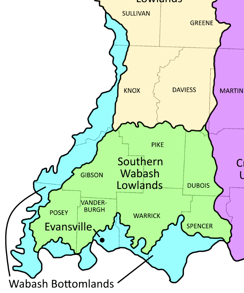
Wabash Bottomlands Ecoregion shown in light blue
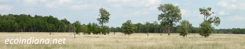
The Wabash Bottomlands ecoregion lies along the lower Wabash and Ohio rivers. This ecoregion contains the most pronounced Mississippian-type species mix in Indiana and, historically, significant numbers of waterfowl have wintered here. The low, nearly level flood plains, terraces, and bayous were seasonally inundated before flood control and were once covered by bottomland hardwood forests. Source: US EPA
Natural Areas in this ecoregion include:
Eagle Slough (Vanderburgh County)
Harmonie State Park (Posey County)
Ouabache Trails Park (Knox County)
Saunders Woods (Gibson County)
Section Six Flatwoods (Posey County)
Twin Swamps Nature Preserve (Posey County)
Wesselman Woods (Vanderburgh County)
Thank you for visiting ecoindiana.net. I hope you find it useful.
Mike Habeck