
Bennett Stone Quarry
Location: Bloomington, Monroe County.
EPA lists the street address as the intersection of Indiana State Roads 37 and 46.
NPL Listing History:
Added: 21 September 1984
Deleted: 14 September 2021
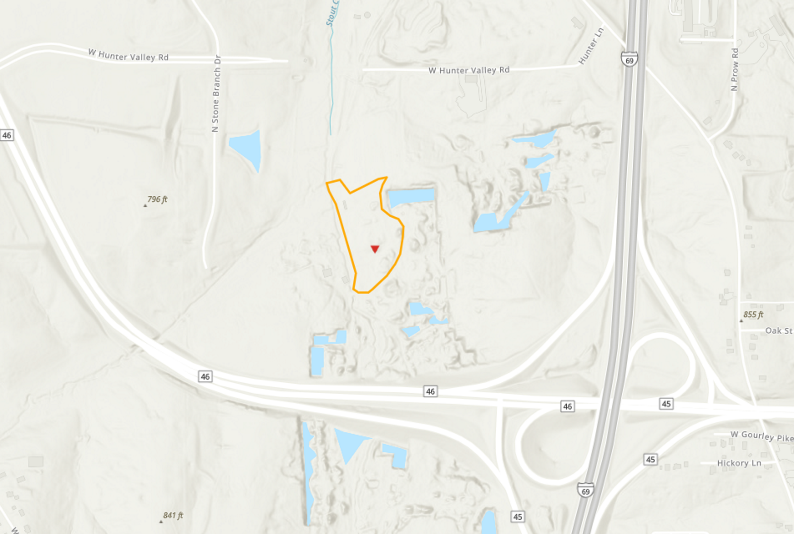 Enlarge
Background
The Bennett Stone Quarry site consists of approximately four acres, located about 2.5 miles northwest of Bloomington. The limestone quarry was used as a dump for old electrical parts for about twenty years, before being discovered by the Monroe County Health Department (MCHD) in 1983. MCHD subsequently identified several acres that had been used for dumping electrical parts, including capacitors contaminated with polychlorinated biphenyls (PCBs).
What Went Wrong
Soil samples from the site found PCB concentrations as high as 38 percent. Sediments in the adjacent Stouts Creek were also impacted by PCBs.
What's Been Done About It
US EPA removed surface capacitors and installed a clay cap and security fencing in 1983. Sediments from Stouts Creek were hydro-vacuumed in 1987.
More Information
The information about Bennett Stone Quarry on EcoIndiana is an attempt to provide a reasonably accurate but very brief summary of what's happened at this Superfund site, as reported by US EPA. There is far more information available from other sources, including those described below.
EPA maintains several web pages with additional information about this site. The EPA home page for Bennett Stone Quarry is at https://cumulis.epa.gov/supercpad/cursites/csitinfo.cfm?id=0501343
There are also documents related to Bennett Stone Quarry available in IDEM's Virtual File Cabinet (VFC). When searching VFC for documents related to Bennett Stone Quarry, choose Advanced Search and enter 7500010 in the Site Number search field.